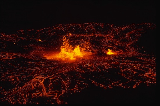
Researchers Could Predict Eruptions By Taking A Volcano’s Pulse From Space
A new study from the University of Miami shows that satellite images of inflating magma balloons deep beneath the ground can predict the eruptions of some volcanoes. The groundbreaking study marks the first solid evidence that factors like ground deformation can suggest a volcanic eruption in the offing — and opens the possibility that, with some fine-tuning, satellite images could help improve eruption preparedness and let people know when they need to get to safety.
The team studied satellite image surveys of dozens of Indonesian volcanoes taken between 2006 and 2009, and saw ground deformation in six volcanoes. That deformation can be a sign of magma swelling up in the ground beneath a volcano, and indeed, three of the six volcanoes in which deformation was seen blew their tops shortly after exhibiting the deformation, which is kind of the geological equivalent of a food baby — severe swelling followed by an unpleasant outburst that poses a danger to anyone in the area.
Being able to detect these sorts of deformations by satellite could be especially important for geologically active areas of the world like Indonesia, where volcanos are common and ground-based means of keeping tabs on all of them can be prohibitively expensive. While the costs of launching a monitoring satellite, like Japan’s ALOS satellite that took the images being studied, monitoring from satellites has the advantage of being able to keep track of conditions over a great area in just one fell swoop.
While it’s not ready for prime-time quite yet, the technology could offer new tools to researchers in the future and serve as a method of keeping people out of harm’s way when the fiery rock starts bursting out of the ground.
(via Eurekalert)
- Just, y’know, don’t try to predict anything in Italy. It won’t end well.
- Sometimes, what starts with a volcanic eruption ends with a mass burial pit
- The phrase hydro-fracking a volcano couldn’t sound safer if it tried
Have a tip we should know? tips@themarysue.com
