Fly Over Mars’s Actual Landscape With a 3D Recreation From Real Satellite Images
Everyone gets the window seat!

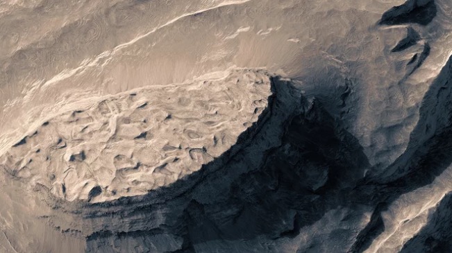
The still, 2D images of Mars’ landscape captured by the HiRISE camera aboard the Mars Reconnaissance Orbiter are fascinating on their own, but since most of us are unlikely to ever visit the planet—though that could still change—we’ll never really get to see what it truly looks like. So, Finnish filmmaker Jan Frodjman digitally mapped those images with 3D topography and created this incredible flyover of the Red Planet’s features.
In fact, it probably looks better than what you’d see from an airplane passing over the planet, since the hazy atmosphere would also obscured the geological features. It’s even more impressive for the fact that Frodjman, unaware of terrain modeling software, did all of this 3D topographical mapping by hand over a period of three months—still quicker than actually going to the planet, so we appreciate his efforts.
(via Wired, image via screengrab)
—The Mary Sue has a strict comment policy that forbids, but is not limited to, personal insults toward anyone, hate speech, and trolling.—
Follow The Mary Sue on Twitter, Facebook, Tumblr, Pinterest, & Google+.
Have a tip we should know? [email protected]